Porto Cathedral in Urban History | Maps, Growth, and Geography
See how Porto Cathedral fits into the historic and modern city through map-based narrative and urban reading techniques.
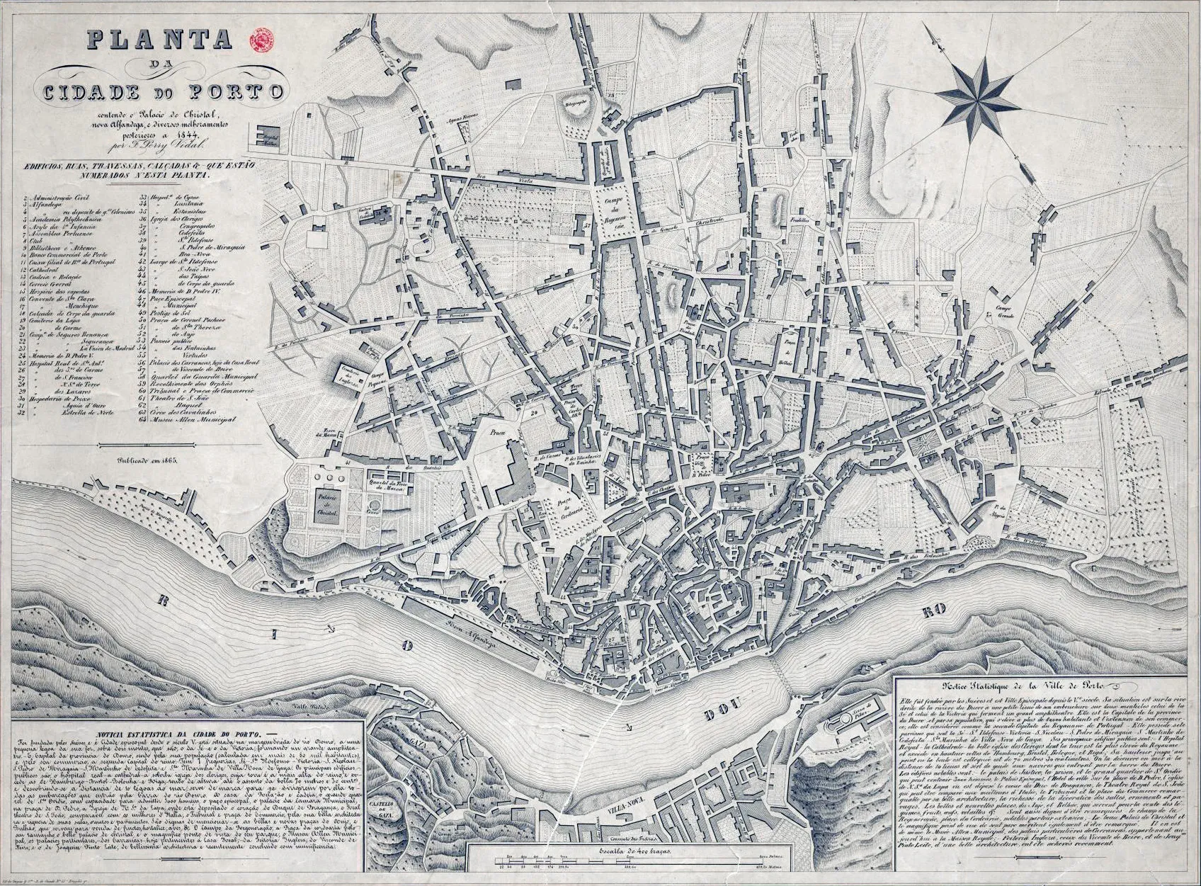
Maps make one thing clear: Porto Cathedral is not randomly placed. Its position reflects strategy, visibility, and governance across centuries.
Reading the city with the cathedral as anchor
- Identify high-ground logic.
- Trace routes toward river trade zones.
- Compare medieval cores with later expansions.
Compact map-reading checklist
- Elevation awareness
- Access corridor logic
- Religious-civic overlap
- Modern tourism pressure points
Geography is the first architecture.
Seeing Sé through maps transforms it from isolated monument into urban key.
Mapping memory
Historic maps do more than locate buildings; they reveal priorities. Street widths, route emphasis, and neighborhood density show what a city considered essential at a given time. In many cartographic frames, Sé appears not as peripheral ornament but as structural reference.
Compare old mapping logic with present pedestrian behavior. Some historic corridors remain legible; others are interrupted by modern flows. The cathedral helps you track both continuity and rupture.
Comparative map prompt
- Mark one historical access route.
- Walk its closest modern equivalent.
- Note what changed in pace, function, and atmosphere.
This method turns map reading into embodied urban history.
关于作者

Porto Cathedral Editorial Team
撰写这份指南的初衷,是帮助访客以更完整的背景与更从容的心态走进波尔图主教座堂——不止停留在匆匆一瞥,而是让每一处礼拜空间、石质通道与观景平台都成为可被真实感受的故事片段。
Tags
Comments (0)
Loading comments...