Porto Cathedral in Urban History | Maps, Growth, and Geography
See how Porto Cathedral fits into the historic and modern city through map-based narrative and urban reading techniques.
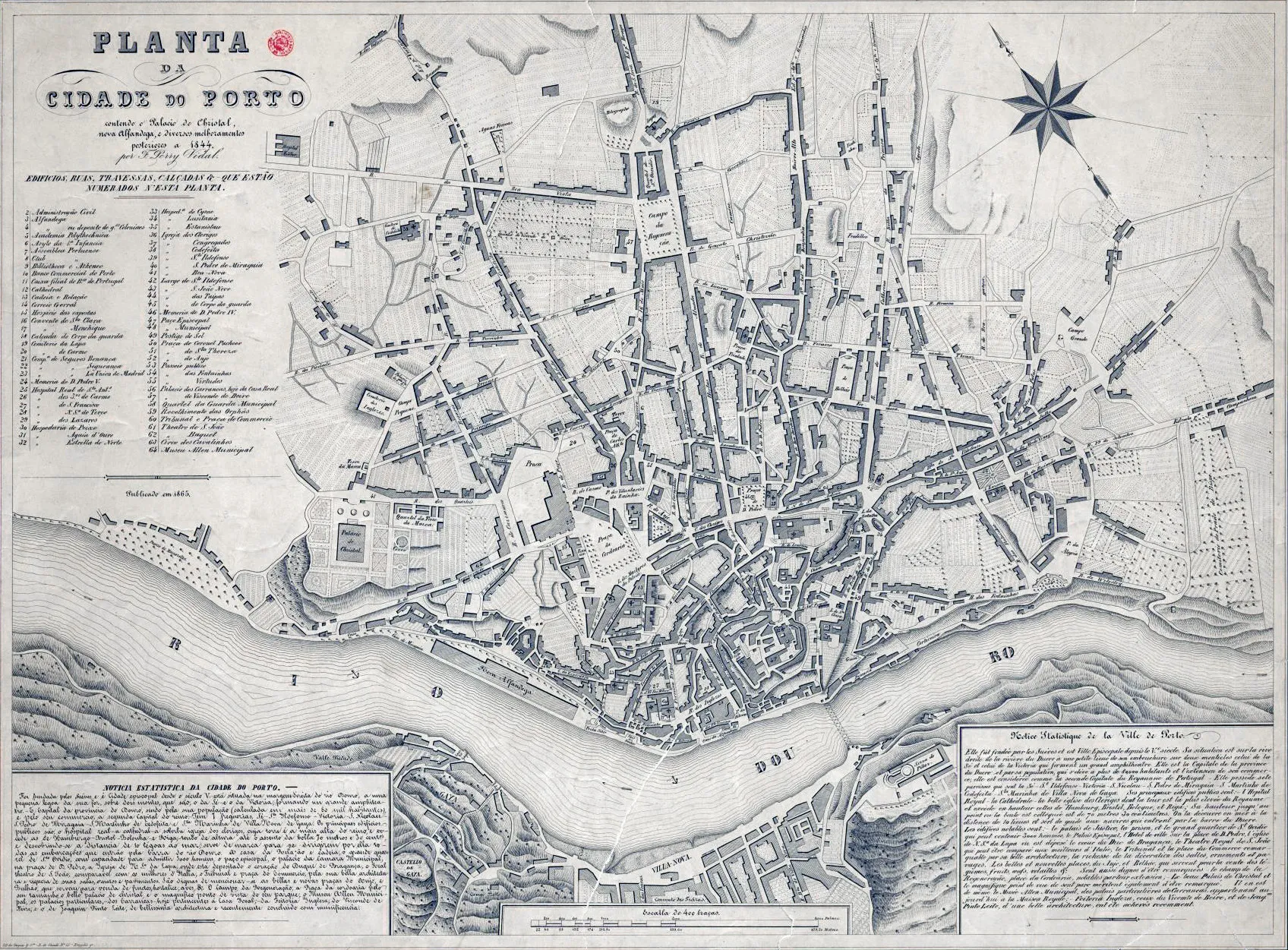
Maps make one thing clear: Porto Cathedral is not randomly placed. Its position reflects strategy, visibility, and governance across centuries.
Reading the city with the cathedral as anchor
- Identify high-ground logic.
- Trace routes toward river trade zones.
- Compare medieval cores with later expansions.
Compact map-reading checklist
- Elevation awareness
- Access corridor logic
- Religious-civic overlap
- Modern tourism pressure points
Geography is the first architecture.
Seeing Sé through maps transforms it from isolated monument into urban key.
Mapping memory
Historic maps do more than locate buildings; they reveal priorities. Street widths, route emphasis, and neighborhood density show what a city considered essential at a given time. In many cartographic frames, Sé appears not as peripheral ornament but as structural reference.
Compare old mapping logic with present pedestrian behavior. Some historic corridors remain legible; others are interrupted by modern flows. The cathedral helps you track both continuity and rupture.
Comparative map prompt
- Mark one historical access route.
- Walk its closest modern equivalent.
- Note what changed in pace, function, and atmosphere.
This method turns map reading into embodied urban history.
저자 소개

Porto Cathedral Editorial Team
이 가이드는 포르투 대성당을 단순한 ‘짧은 포토 스팟’이 아닌, 맥락과 확신을 가지고 체험할 수 있는 장소로 소개하기 위해 작성되었습니다. 각 예배실, 돌길, 전망 포인트가 실제로 느껴지는 이야기의 한 장면이 되기를 바랍니다.
Tags
Comments (0)
Loading comments...